Collision Risk Modelling
The assessment of navigation risk through the creation of GIS vessel traffic simulations enables robust quantitative modelling of vessel behaviour and the determination of future-case scenarios.
Marico Marine's Collision Risk Assessment services enable the quantification of collision risk between vessels and other vessels or fixed objects such as offshore wind turbines or oil & gas structures.
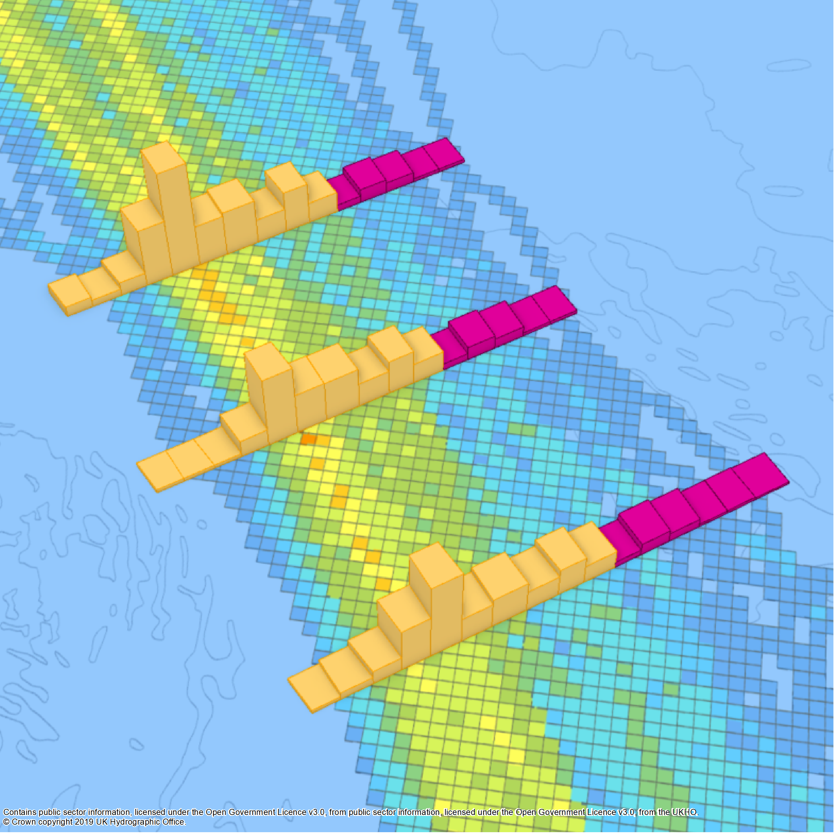
Gate Analysis
Marico’s Gate Analysis for ArcGIS tool enables the frequency, direction and percentiles of traffic through a linear channel to be calculated and visualised.
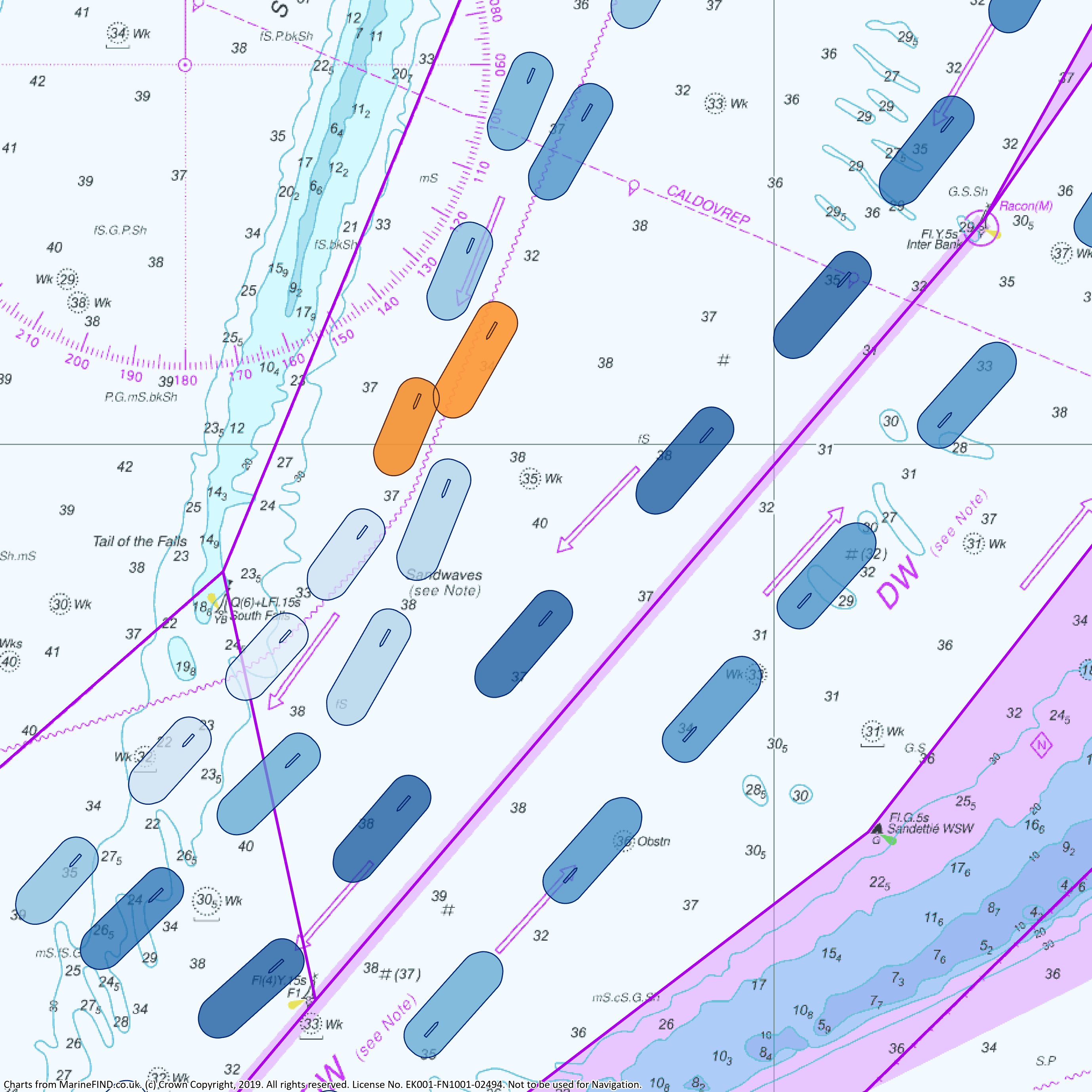
Track Divert
Marico’s in-house track divert tool utilises route centrelines and standard deviations of AIS data to deviate established vessel routeing around obstacles aiding site selection, planning, risk assessment and monitoring for offshore developments.
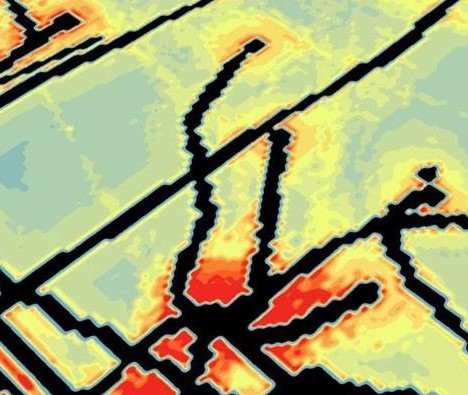
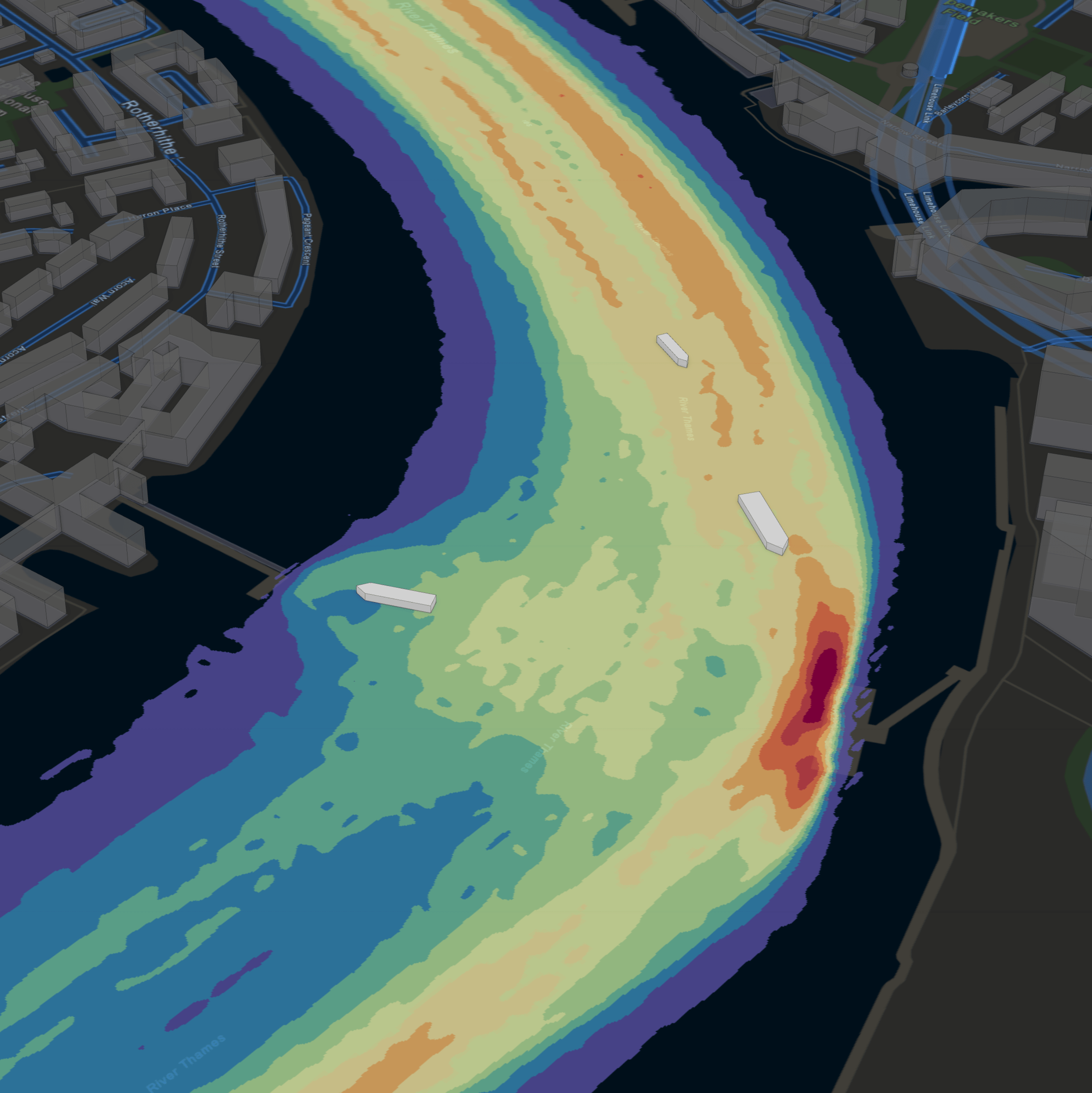
Vessel Density Analysis
Marico Marine's vessel density algorithm processes AIS vessel tracks into a raster output, enabling analysis and visualisation of vessel traffic movement patterns.
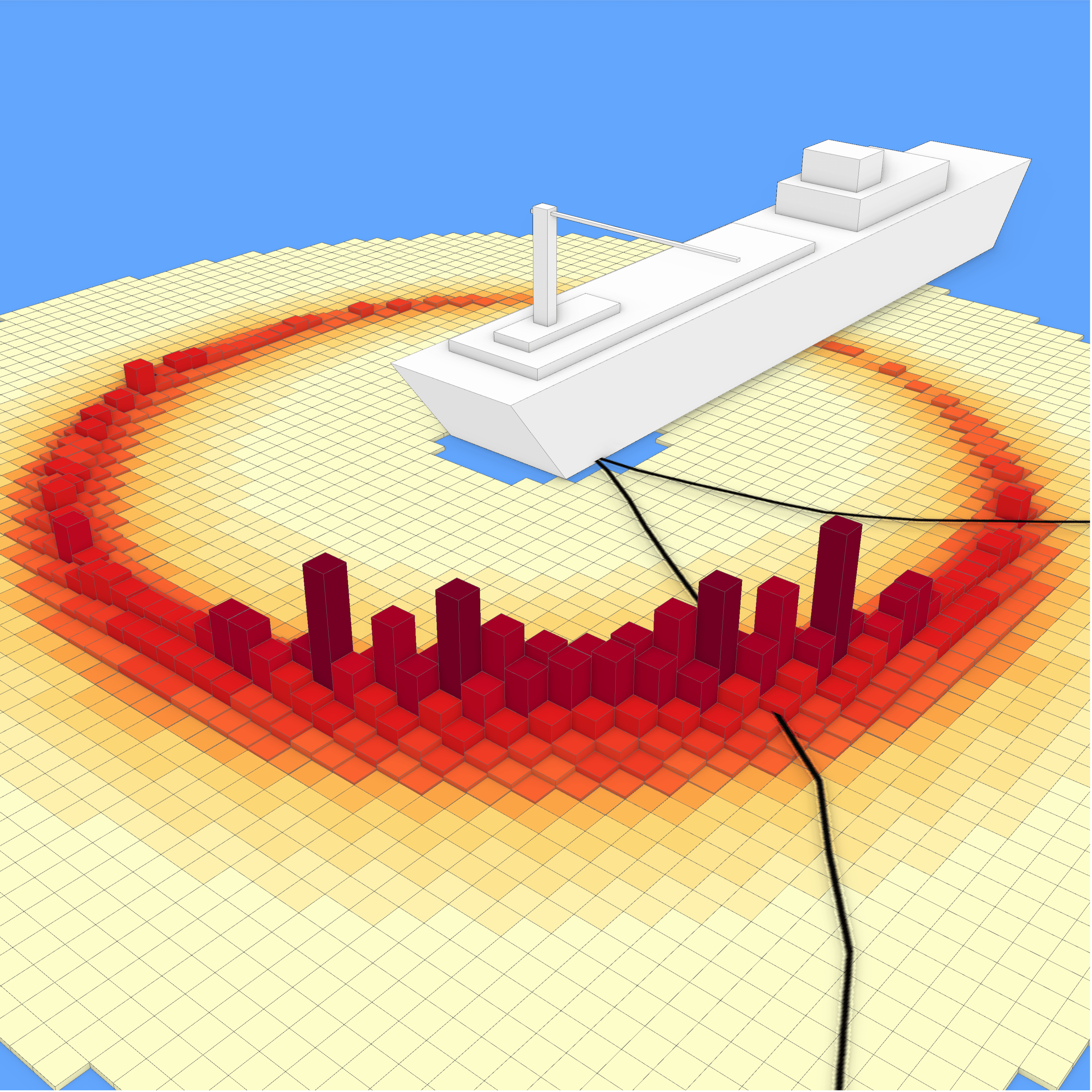
Dropped Object Risk Prediction
Marico offer Dropped Object Risk Prediction services that integrate the results of weathervaning timeseries data with dropped object impact probabilities to provide annual probabilities of failing objects to assess the risk to seabed infrastructure.
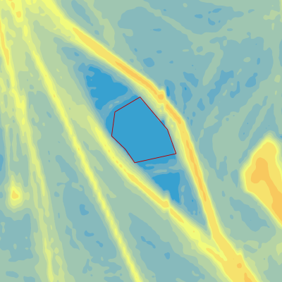
Site Selection and Risk Mapping
Incorporating vessel traffic density and marine spatial datasets alongside mariner expertise, Marico provide a multi-criteria, weighted overlay approach to navigation risk to support offshore wind leasing and hydrographic risk assessments.
Marico’s Shipping & Navigation Constraints Model combines risk scoring and weighting of spatial datasets to produce model scenario outputs in GIS.